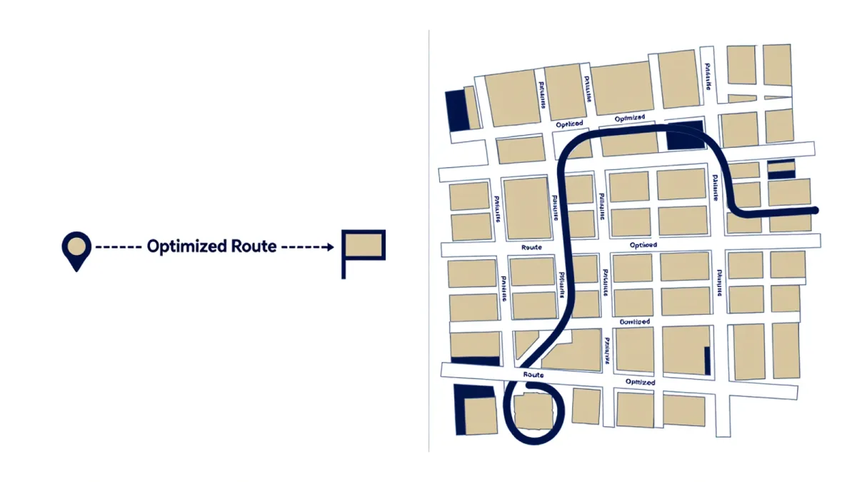
Every traveler now carries both answers to the question of how to know a city. The first is the plotted route: a pin, a blue dot, an ETA, a path optimized before the feet begin. The second is the wander: departure without destination, direction chosen by light and slope, arrival understood only afterward. The choice between them looks like temperament, but half a century of research on how humans build mental maps — and a specific body of work on what satellite navigation does to the brain — says it is more than that. The plotted route and the wander install two different versions of a place in memory, and the difference is measurable.
Two ways of building a city in the head
The urbanist Kevin Lynch drew the foundational distinction in "The Image of the City" (1960), his study of how residents perceive their cities: people navigate by an assembled mental image of paths, edges, districts, nodes and landmarks. Crucially, that image is built from experience of relation — how the bakery sits relative to the river, how the hill connects the two squares. Wayfinding researchers later formalized what Lynch observed: route knowledge (the sequence of turns along a path) and survey knowledge (the internal map of relations) are distinct cognitive products, and only the second constitutes truly knowing a place. The plotted route trains the first and starves the second. The wander, with its wrong turns and forced reorientations, is essentially a survey-knowledge generator: each dead end revises the internal map, and each reorientation strengthens it.
What the satellite navigation studies found
The turn-of-the-century neuroscience made the stakes concrete. Eleanor Maguire's studies of London taxi drivers, published in 2000, found that drivers who had spent years navigating the city by knowledge rather than device had measurably larger posterior hippocampi — the brain region central to spatial memory — and that the size correlated with years on the job. The research on satellite navigation points the other way: work by Véronique Bohbot and colleagues reported that reliance on GPS-style turn-by-turn navigation was associated with reduced engagement of the hippocampus and weaker formation of survey knowledge, and longitudinal work has associated heavy GPS use with steeper decline of spatial ability in older adults. The findings, as ever in neuroscience, are more nuanced than the headlines — but the direction is consistent across labs: turn-by-turn navigation produces passengers, and the wanderers build the map.
What the wander is actually for
None of this makes the plotted route foolish; it is the correct tool when the destination matters and the interval does not. The argument is about proportion and purpose. The wander's value is not the romantic one — serendipity, the undiscovered café — though those are real. It is architectural: the wander is how the abstract city becomes a navigable one. A traveler who has walked a city's seams without a route carries away something the guided traveler cannot have: the ability to be set down anywhere in the old center and know, without lifting the phone, which way the river runs. Residents know this and rarely say it; the mental map is precisely what makes a place feel like theirs. The wanderer is doing, deliberately and briefly, what residency does slowly.
The old map's honest limits
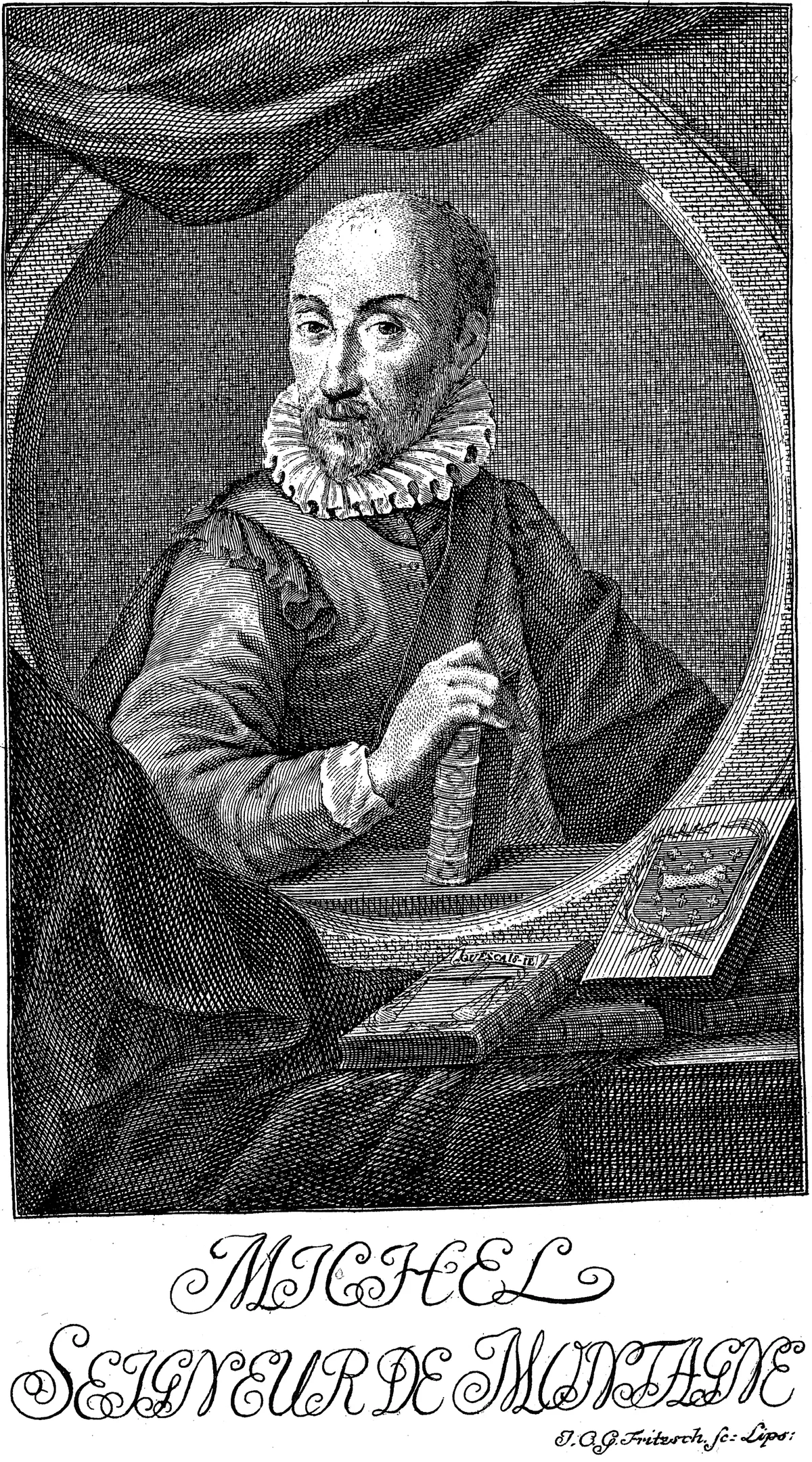
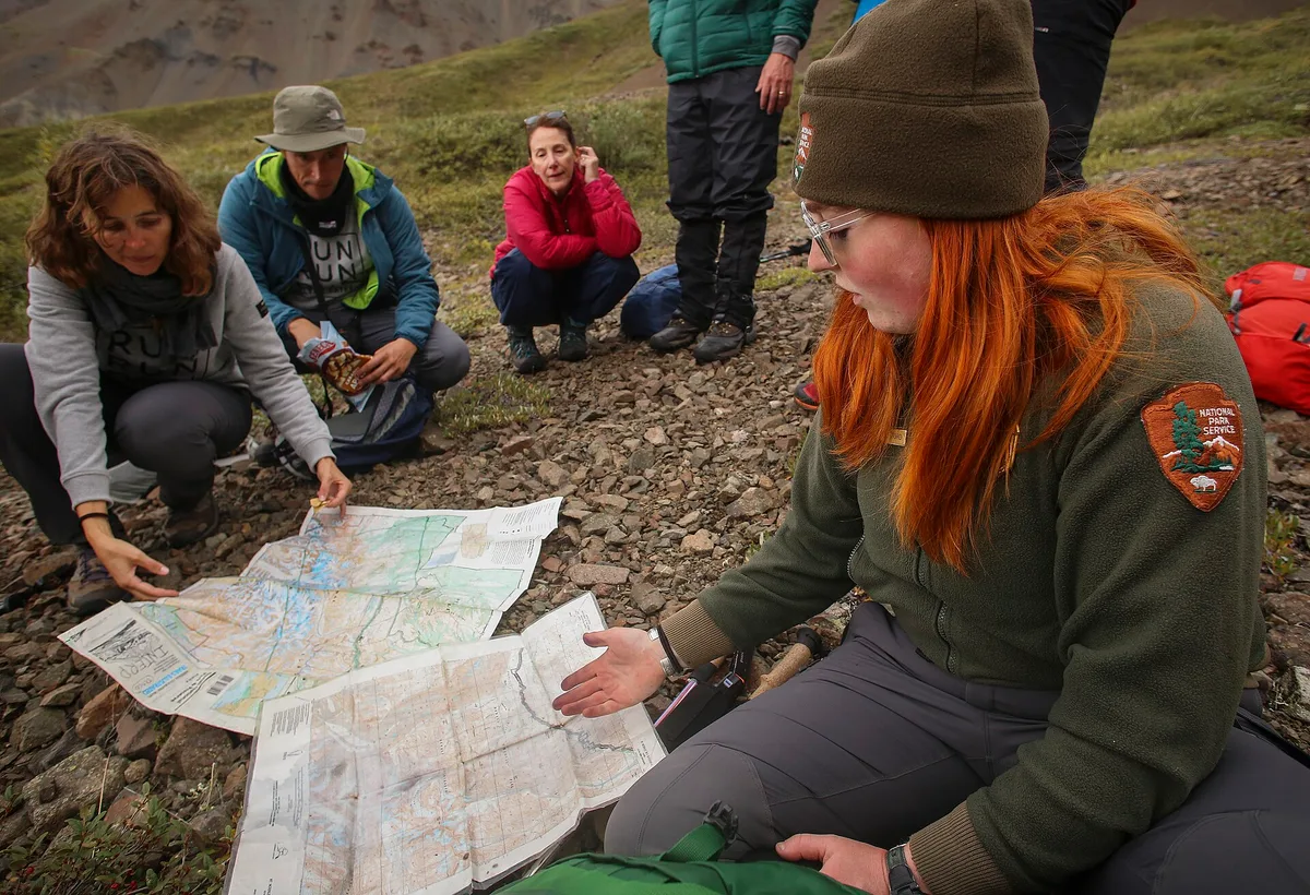
There is a middle object in this story: the paper map, and its modern descendant, the pre-viewed map. The paper map is neither route nor wander but a third thing — a negotiation. Using one forces the traveler to hold the city as a whole in mind, to fix landmarks and bearings before the legs start, and to update the fix continually as streets disagree with the drawing. Mercator's 1569 projection and the whole cartographic tradition that followed were built for exactly this exchange between representation and ground. The paper map also fails usefully: it shows less, and its showing less forces the wander. A city street-visited with a folded plan in the pocket ends the day known in a way the blue dot never quite delivers, because the reader of the map did the assembly work that the algorithm now performs invisibly on the traveler's behalf.
The working compromise
The practice that honors both kinds of knowing is simple enough to feel obvious once stated, and almost nobody does it: navigate outbound, wander home. Let the plotted route deliver its efficiency on the way to the fixed point — the museum with timed entry, the dinner reservation — and return by relation: the tall thing, the downhill water, the street that felt like the right species of street. The outbound leg banks the appointment; the homebound leg banks the city. Travelers who adopt the habit report the same aftereffect the wayfinding literature predicts — within days, the phone stays in the pocket on increasingly long stretches, because the internal map has begun, quietly, to exist. That map is the actual souvenir of a walkable trip: not photographs of places visited, but a place, resident for a while in the head, that can be walked in the dark.
Getting lost, honestly
The wander has been so thoroughly marketed — the lost-in-the-lanes fantasy of every destination brochure — that its real version needs defending from the sentimental one. Real getting lost is uncomfortable: sweaty, occasionaly frightening, boring in stretches, and frequently resolved by the phone anyway. What the wayfinding evidence suggests is that the discomfort is not incidental but functional: the mild stress of disorientation is the condition under which the hippocampus does its assembly work, the way load is the condition under which muscle grows. A wander conducted with the map constantly in hand is a holiday from navigation, pleasant and instructive in other registers, but it withholds the exact problem the brain learns from. The tradition of the deliberate wander — the Situationists’ dérive of the 1950s, the long tradition of the walk without purpose that runs through European romanticism into every modern city’s flâneur mythology — was always, at bottom, a training regime disguised as leisure. The city as gymnasium, entered on foot and without a plan.
It also has to be said that the choice between map and wander is unevenly distributed, and this is where the essay’s question stops being aesthetic. A solo, able-bodied adult with a phone and free time can afford a wrong turn; a traveler navigating with small children, a tight connection, or in a place where night arrives at four can not, and the plotted route is in those cases not a moral failure but the correct tool, morally neutral and empirically superior. The argument here is not that everyone should wander everywhere. It is that the two modes produce different knowledge, that the difference has a physical basis, and that a trip assembled entirely from plotted routes — as most now are, by default — quietly forfeits one of the two things a walkable city can give. A traveler who never wanders has not made a choice; they have accepted one.
And the reverse habit deserves its sentence of praise. The plotted route, approached with attention, is not the enemy of survey knowledge but its scaffolding: follow the same route twice and the sequence of turns begins to dissolve into relation — the bakery that was turn two becomes the bakery near the river, which is the moment the internal map annexes another block. Repetition converts itinerary into place. This is why the one-base trip and the wander belong together, and why the visitor who walks to the same market three different ways often leaves knowing the neighborhood better than the one who photographed it from four angles on a single prescribed loop.