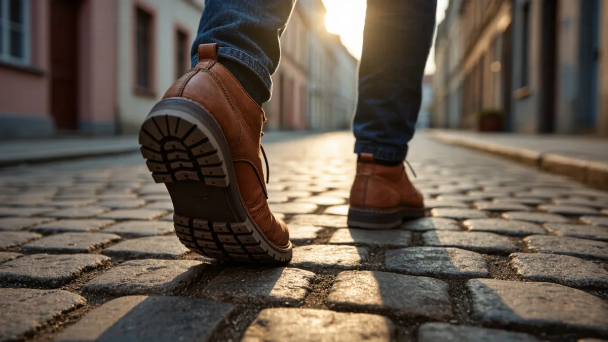
Walking is usually treated as transport between attractions. As a method, it is the primary instrument: the pace at which a city's logic becomes legible — its districts, edges, gradients and daily rhythms — and the only speed at which the senses get a vote. The practice scales better than travelers assume. Most historic European city cores are walkable end to end in under an hour at a wanderer's pace, which means a three-day stay contains enough foot-hours to cross the center dozens of times, and the method below turns those crossings into knowledge rather than mileage. This is information, not a prescription: heat, mobility limits and safety conditions vary, and the method bends accordingly.
How far does walking actually get you?
The numbers are encouraging. A steady wandering pace covers roughly four kilometers an hour, and the walkable cores of most European old towns — Florence inside its ring roads, Kraków's Stare Miasto, Valencia's Ciutat Vella — measure on the order of one to two kilometers across. A traveler walking three hours a day covers on the order of twelve kilometers, enough to traverse the entire core and its near quarters twice daily. Cities that sprawl beyond walk scale — Los Angeles, or Istanbul's Asian half — are handled the same way by division: pick a walkable sector per day, ride to its edge, and walk it whole. The method's first rule follows: a city too big to walk is a city to walk in pieces.
What does the practice look like?
Three crossings, three jobs. The first day, cross the city once in each cardinal direction through the center — north to south, east to west — with no stops, purely to install the skeleton: where the river bends, where the tourist tide ends, where the gradient runs. The second day, walk the edges: the boundary where the historic fabric turns residential, the canal, the rail cut, the market district that guidebooks skip. The third and later days are for the grid of in-between: pick a square on the mental map each morning and reach it by a street you have not used. The urbanist Jan Gehl, whose field studies of city life were gathered over decades and gathered in "Cities for People" (2010), built his analysis on exactly this kind of slow, repeated, pedestrian-scale observation — the method is simply tourism adopting the researcher's instrument.
What does walking reveal that riding does not?
The inventory is concrete: transitions (the exact block where the sound of a district changes from cafe to workshop), elevations (the two-meter rise that explains the whole street pattern), smells and sound-marks, the direction of the evening crowd, the boundary of a language or a cuisine within a single district's length. Public-transport travel compresses precisely these signals; it samples the city at intervals and interpolates the rest. Walking also produces the practical residue covered in the navigation research: the survey knowledge that turns a visited city into a known one, and that no transit map installs.
How do you walk a city well?
The craft rules are small and repeatable. Start early — the hour before commerce opens is when a city's operating skeleton shows: deliveries, sweeps, the school run, the first cafe chairs coming out. Follow water whenever a route allows; rivers and canals are a city's original highways and their banks still organize everything around them. Sit once an hour; observation is a seated activity as much as a moving one, and the plaza bench is the instrument. And carry the day's only fixed point loosely — one destination, reached by unknown streets, preserves both the appointment and the wander.
What breaks the method?
Three honest failure modes. The weather week that pins a traveler indoors — the mitigation is the sector plan, walking one connected indoor-outdoor circuit per day rather than surrendering the stay. The feet: twenty-something kilometers a day on pavement is an athletic event, and the method runs better at twelve with better shoes than at twenty with blisters. And the checklist instinct, which converts walking into errands. The method's test is simple: if the day's route could have been driven, it was transport. If it had to be walked — because the transitions, gradients and thresholds were the point — it was the method.
A closing note on what the method costs and returns, because the honest ledger favors it less on time than on quality. Walking surrenders range — no pedestrian itinerary covers a metropolitan region — and it demands hours that a checklist trip would spend on attractions. What it returns is the only form of city knowledge that compounds after the trip ends: the internal map, the remembered transitions, the sense of where things are in relation, which keeps paying out whenever the city appears again in an article, a film or a conversation. The traveler who walked a city once owns a small version of it forever; the traveler who rode between its highlights owns photographs and a feeling. Most cities worth visiting are worth knowing, and knowing, on the current evidence of every wayfinding study and every Gehl field count, happens at about four kilometers an hour.